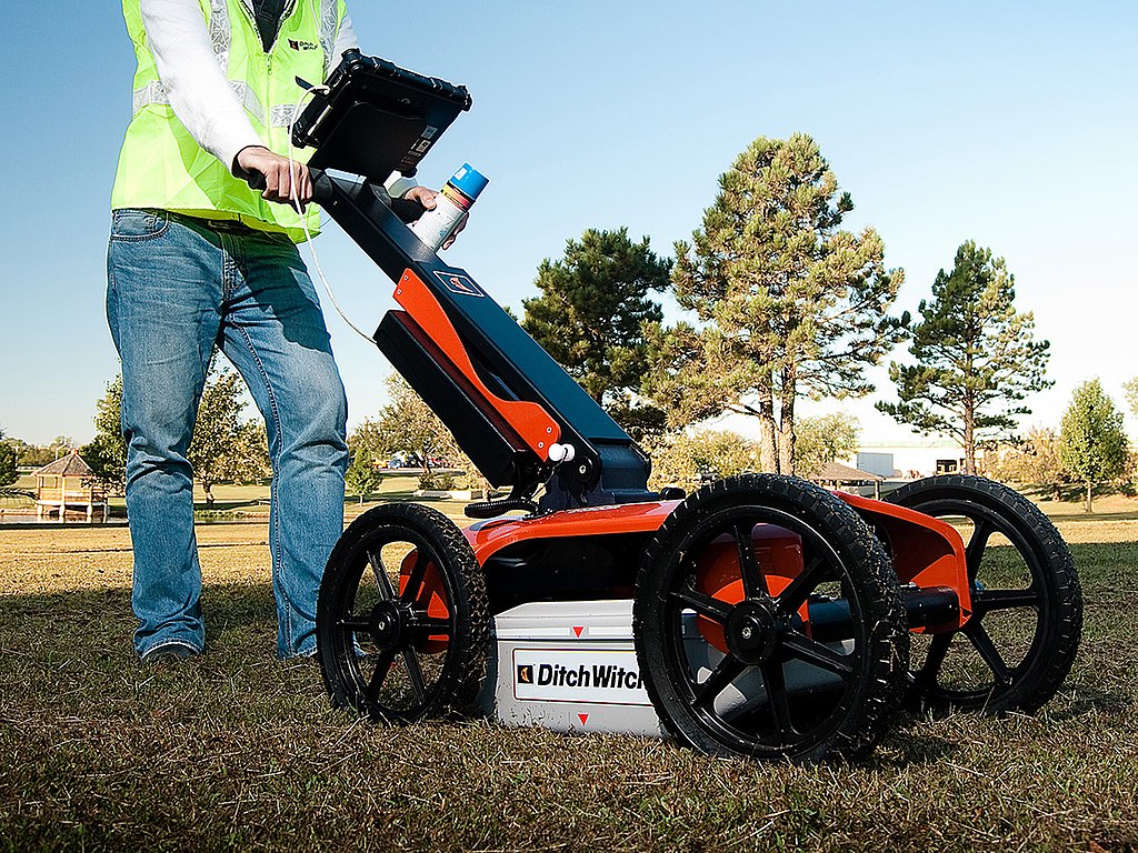
Ground Penetrating Radar (GPR) is an advanced technology used in civil engineering to explore underground structures. Utilizing electromagnetic waves, GPR provides images of subsurface features without the need for excavation. This makes it an invaluable tool for detecting and mapping objects like pipes, cables, and other buried infrastructure. It’s also used in geological and environmental surveys to identify different soil and rock types, water tables, and contamination. GPR’s non-invasive nature allows for efficient and safe subsurface exploration, crucial in urban planning, archaeological sites, and infrastructure maintenance.
Ground Penetrating Radar (GPR) is a geophysical method that uses radar pulses to image the subsurface. It’s a non-intrusive technique, useful in various fields like earth sciences, engineering, environmental remediation, archaeology, law enforcement, and military. GPR employs high-frequency radio waves, detecting reflected signals from subsurface structures. Its effectiveness depends on soil composition, with dry conditions allowing deeper penetration. GPR is used in applications like studying bedrock, groundwater, ice, locating buried structures, and archaeological features.


